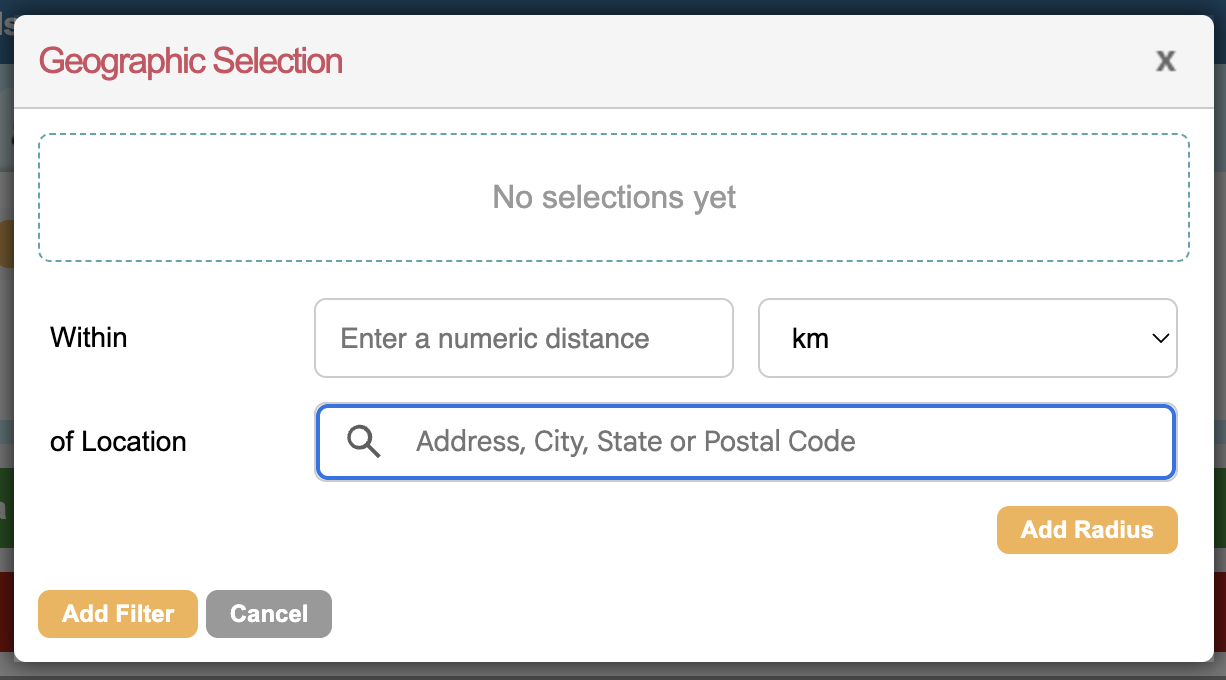
Geo Location, or Geotargeting, is a type of query filter you can use to select groups of supporters based on their latitude and longitude for data exports or email selections.
To use this filter, you will need to have imported longitude and latitude data for your supporters first.
Setting supporter coordinates via an import
The first step is to ensure your supporters have longitude and latitude set against their record. You will need to find a method to determine these coordinates from exported address fields.
To set these via an import:
1) First create a CSV file of Email address, Longitude and Latitude, like this:
|
Email address |
Latitude |
Longitude |
|
sam@engagingnetworks.net |
51.524028 |
-0.081158 |
|
hani@engagingnetworks.net |
52.145592 |
-0.457390 |
2) Use the Supporter Import function under Data & Reports > Import to select this file.
3) On the mapping screen, map the email address to the correct field. Latitude and Longitude should automatically map based on the import file header, but if not you can find these columns towards the bottom of the list of available fields.
4) Import the file and check that it was successful via the job monitor. You may need to wait 20 minutes before this data is available to select on.
Creating geographic selections
Once you have updated your supporter’s Latitude and Longitude, you can now use it to select supporters in different regions. To do this, when using the query builder in Data & Reports > Export, or when selecting supporters for an email send, click on the Geo Location tab 
Users can define the distance from a central address where supporters should be included.